Our industrial drones gather advanced data and imagery so you can make smarter decisions, solve problems quickly, and reduce risk.
Drone data & imagery capture
Looking for more precise site models? Ready to upgrade or augment your imaging and documentation approach? The sky’s the limit on what our experienced flight crew can capture and collect for you.
Enterprise-level drone technology enables your team to see the whole story.
We have FAA Part 107 licensure and navigate the entire regulatory environment so you don’t have to.
Have a need beyond the areas below? We’re always up for a challenge. Tell us what you’re looking for >

Reduce risk
We use the latest-technology drones to capture high-risk data and imagery with a 100% focus on the target, so you can keep your team working safely on the ground.

Lower costs
Legacy ways of gathering essential information are often expensive and time-intensive. Our drones can capture multiple types of images at once, from exactly the same spot month after month.

Improve operations
Our team of career tradesmen knows your industry. Their experience means you get the data and insights you need to make informed decisions quickly.
We’ve been in the field for over 25 years, which means we know what you need to keep your project on track. We may geek out about these fantastic pieces of technology, but our roots are in the field and we know what it takes for you to do your job well.
Where visual inspections can only document what you can see, our drones capture layers of information while flying closer and more precisely, without putting personnel in harm’s way.
We’re committed to enterprise operations and stand behind the quality we deliver – every job, every site, every day.
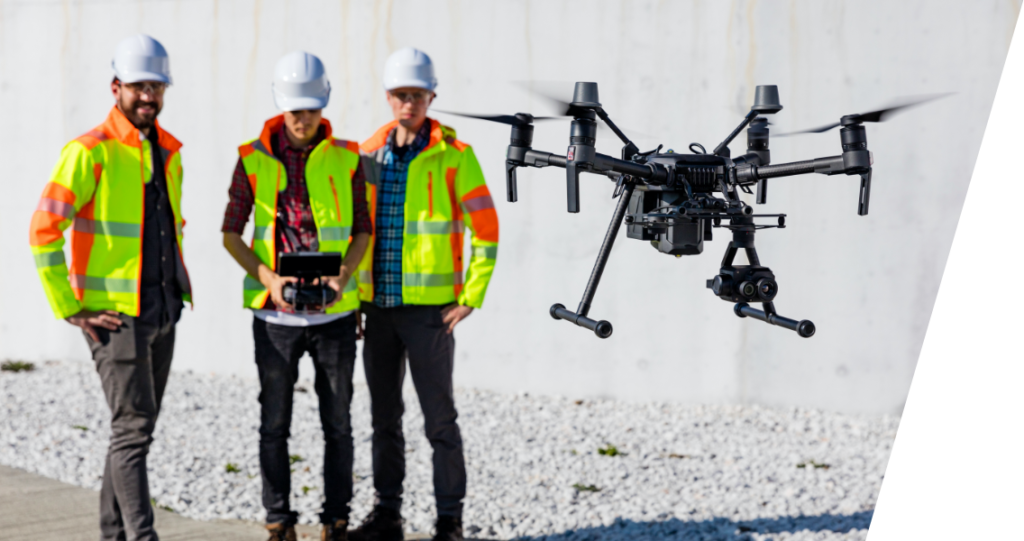
Bill here. I’m glad you asked. I’ve spent my entire career in the field working with people just like you, and I’m excited to provide an entirely new capability. Our crews are not “real estate photography” drone pilots. We are tradesmen with extensive industrial and commercial backgrounds in AEC, Energy, Aviation and Emergency Services equipped with advanced sensors for industry specific applications.
The leap forward that this technology embodies would be hard to overstate. You don’t want to miss this, and I can’t wait to show you what’s possible.
Depends on our contracts, so give us a call as soon as you know what you need. We’re based in Provo, UT and can travel to most mountain west locations within a day, and US locations within 48 – 72 hours.
Absolutely. The beautiful thing about putting drones to work is that they can fly the exact same target path over and over and over, whether daily, monthly, or yearly. It makes it fantastically easy to compare images over time.
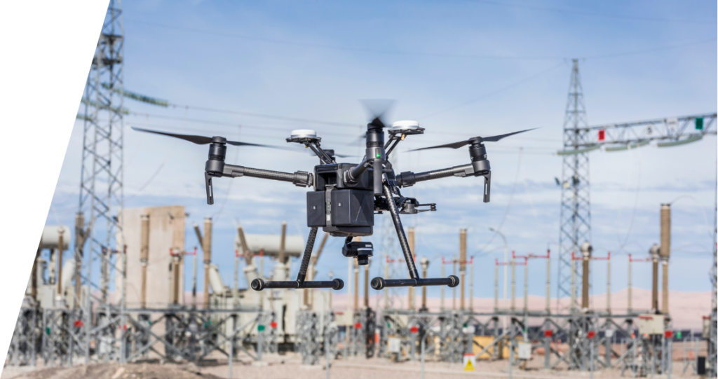
We’ve focused our fleet on the Matrice 300 drones with H20T, L1 and P1 sensors.
It’s not an either/or proposition. This technology is here to augment your experienced tradespeople in the field, to be a tool that provides eyes to see what they cannot from vantage points not safely (if at all) accessible in any weather/terrain/conditions. Quick, Safe, Repeat.

Tell us your needs
Fill out the form below or give us a call.
Watch a flight demo
Want to see the possibilities? We’ll be right there.

Impress your stakeholders
Reduce risk. Save money. Deliver a higher-quality project without delay.
Take your project to the next level.